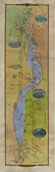
TRIBUTARIES OF THE MISSISSIPPI RIVER
Text and Map Images courtesy of Great River Arts, Kalispell, Mountana. All rights reserved.
Missouri River: THE MISSOURI RIVER is considered to be the longest stream of river in the US is the Missouri River which begins at Three Forks, Montana (elevation 4,032 feet) and flows 2,714 miles to near St. Louis, Missouri. Many people consider the Missouri to be the main reach of the Mississippi River!
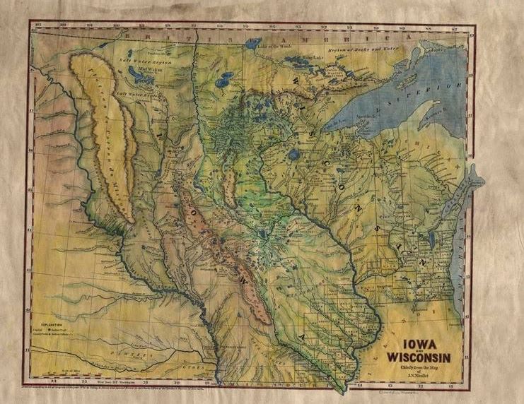
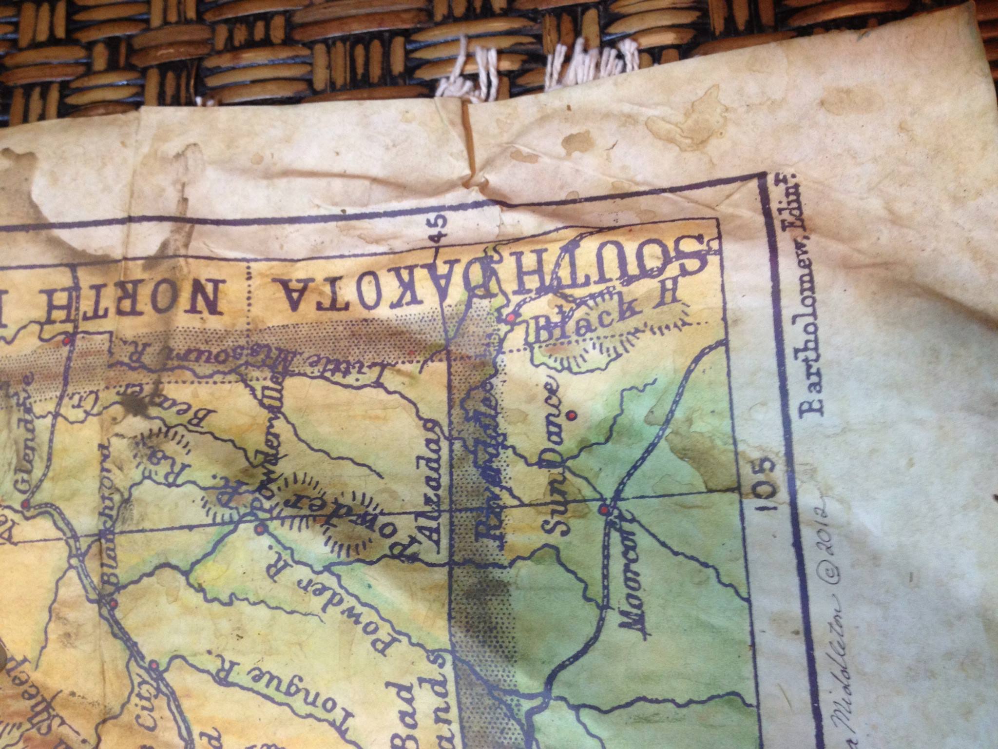
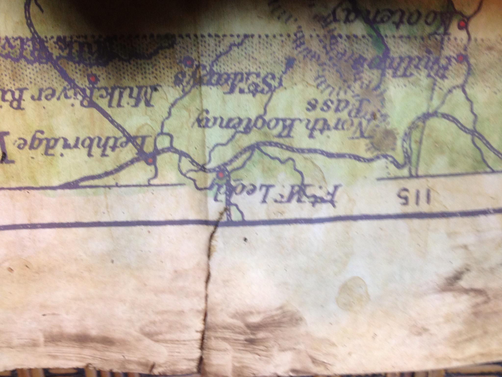
Th e Missouri River, flowing east and then south for thousands of miles is North America’s longest river. It is a gem of natural resources and a vital transportation pathway. Nicknamed the “Big Muddy” and “Dark River” because of its silt material, the river begins at the confluence of the Madison and Jefferson Rivers in the Rocky Mountains of western Montana. The river flows across eastern Montana, then continues through the center of the Dakotas on its southern trek, before becoming the state line between Nebraska and Iowa, then dividing Kansas from Missouri. The Missouri travels east again across the upper part of the state that carries its name before entering the Mississippi River just north of St. Louis.The Missouri River valley was the home of several Native American tribes around 1500, including the Mandan, Arikara, Missouria, Lakota, Hidatsa, and Otoe, among others. French explorers Louis Jolliet and Jacques Marquette, in 1673, were the first Europeans to see the Missouri River. However, it was the Lewis and Clark Expedition (1804-1806) that produced the most promise and paved the way for the Missouri River to define the American Frontier. The discovery of a navigable Missouri River route made possible the growth of the fur trade in the early 1800s. Fur trappers in the upper Missouri River basin bartered iron, brass, knife, blankets, cloth, metal, firearms, metal containers, and even alcohol with Indians, for beaver pelts and the hides of bison and buffalo.The function of the Missouri River has changed over time, and today, tourism and recreation are the two key features of the river. Kayaking, canoeing, bird watching, camping, fishing, and hiking are some of the activities that can be enjoyed on or along the river. The Lewis and Clark National Historic Trail, which crosses eleven U.S. states and retraces the course of Louis and Clark Expedition, is a feature attraction along the Missouri River. Still, the Missouri River flows through or past many National Historic Landmarks including the Big Hidatsa Village Site in North Dakota, and Montana’s Fort Benton, among others. There is plenty to explore and enjoy!
e Missouri River, flowing east and then south for thousands of miles is North America’s longest river. It is a gem of natural resources and a vital transportation pathway. Nicknamed the “Big Muddy” and “Dark River” because of its silt material, the river begins at the confluence of the Madison and Jefferson Rivers in the Rocky Mountains of western Montana. The river flows across eastern Montana, then continues through the center of the Dakotas on its southern trek, before becoming the state line between Nebraska and Iowa, then dividing Kansas from Missouri. The Missouri travels east again across the upper part of the state that carries its name before entering the Mississippi River just north of St. Louis.The Missouri River valley was the home of several Native American tribes around 1500, including the Mandan, Arikara, Missouria, Lakota, Hidatsa, and Otoe, among others. French explorers Louis Jolliet and Jacques Marquette, in 1673, were the first Europeans to see the Missouri River. However, it was the Lewis and Clark Expedition (1804-1806) that produced the most promise and paved the way for the Missouri River to define the American Frontier. The discovery of a navigable Missouri River route made possible the growth of the fur trade in the early 1800s. Fur trappers in the upper Missouri River basin bartered iron, brass, knife, blankets, cloth, metal, firearms, metal containers, and even alcohol with Indians, for beaver pelts and the hides of bison and buffalo.The function of the Missouri River has changed over time, and today, tourism and recreation are the two key features of the river. Kayaking, canoeing, bird watching, camping, fishing, and hiking are some of the activities that can be enjoyed on or along the river. The Lewis and Clark National Historic Trail, which crosses eleven U.S. states and retraces the course of Louis and Clark Expedition, is a feature attraction along the Missouri River. Still, the Missouri River flows through or past many National Historic Landmarks including the Big Hidatsa Village Site in North Dakota, and Montana’s Fort Benton, among others. There is plenty to explore and enjoy!
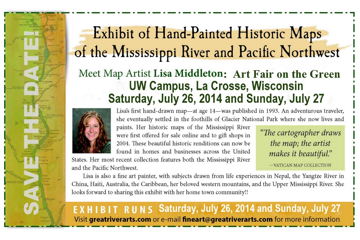
Click here to read about Lisa’s new rendition of the historic Lewis and Clark Expedition!

Return to Mississippi River Home Page
Return to Mississippi River Tributary Feature