
WATERWAY CRUISE REPORT
The Galapagos Island cruise reports are among our most popular Waterway Cruise Reports.. .
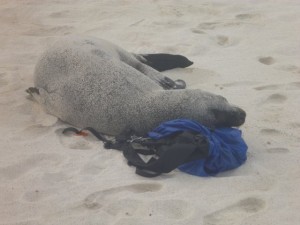
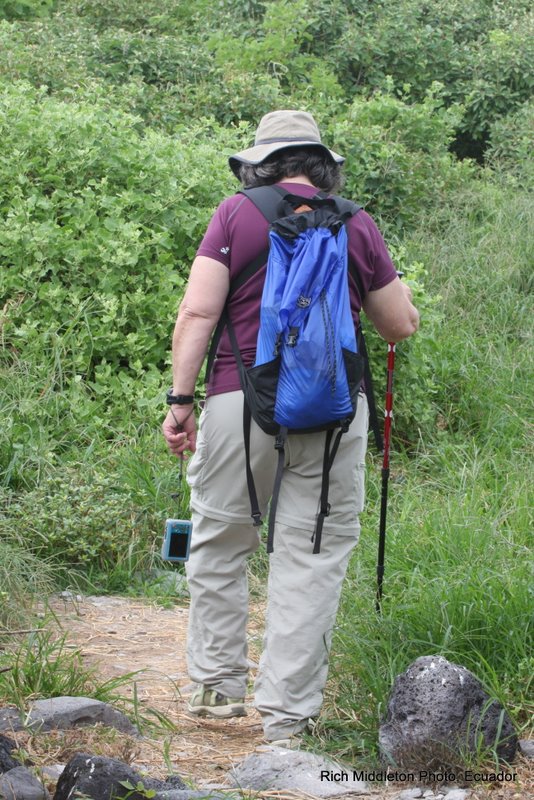
“The best part of traveling the Galapagos is an amazing up close and persoal experience with the wildlife who call it home. This seal really loved my backpack!“
PART TWO of OUR WATERWAYS CRUISE REVIEW OF VISITING THE GALAPAGOS ISLANDS…. Click HERE to read PART ONE.
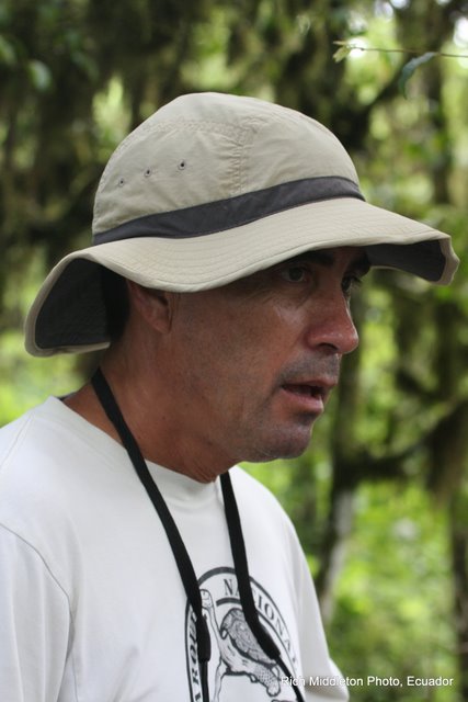
Alex was our preferred naturalist… mainly because of his love of the islands, and because of his 20 years of experience! But for those whose personal perspective is that this was a “vacation” and no “mandatory learning” was allowed, we had a second naturalist whose main focus was “learn a little” and have a great time! Every Galapagos naturalist today is professionally trained to interpret and protect this unique natural heritage.
On my first open ocean snorkeling excursion, I panicked and clung to the ladder.
“Alex,” I urged, “don’t wait for me. I’ll just hang here for a while.”
“I don’t go anywhere unless you decide to come with me, or get back in the boat,” he explained. “I don’t leave you in the water alone.” I felt absolutely safe with Alex from that point forward.

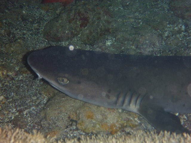
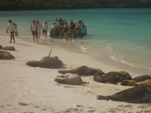
Snorkeling, panga rides, and kayaking were all available options for daily water-based activities. Snorkeling was by far the most popular… Turtles, white-tipped sharks, swimming with sea lions, and even “circling-up” when visited by several hammerhead sharks provided highlites on our Galapagos cruise. Oh yes, and we were joined by a pod of leaping dolphins during one of many memorable panga excursions!

“I really could not believe it was ME out there snorkeling with Hammerhead sharks!” one Minnesota passenger exalted. And sea turtles were ABUNDANT in the clear waters!
Twice each day, the naturalists led us ashore for an island hike. An afternoon nap was mandatory, so that everyone had the energy to do the really important stuff… like hiking among the booby’s and iguanas, and magnificent Frigate Birds.
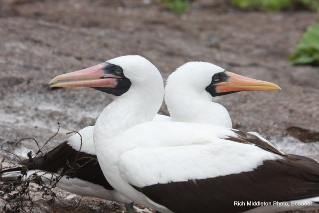
The AMAZING thing is that these creatures truly have no fear of humans!! It was as if we had entered into the Garden of Eden.
While it is not necessary to be a student athlete to visit the Galapagos Islands, for the first time on any cruise, we found ourselves to be among the older visitors, rather than the younger!
It IS necessary to be able to hike for a mile or two… some of it over rocky lava surfaces, or up and down short steep slopes.
“Wet landings” are common, so be prepared to swing your legs over the side of a rubber panga and in the gentle surf!
I did bring two pieces of “gear” that I found incredibly useful…trekking poles that could be unscrewed to fit in a small carry-on suitcase, and lightweight Salomon’s “Amphibian” style hiking shoes with webbing. The trekking poles worked great when we were on lava rocks.
The specialized water/hiking shoes were great for wet landings. The webbing meant shoes dried quickly. The hiking soles stuck like glue to wet rock and afforded comfortable cushioning for the rest of the hike.
Casual dress is definitely the order of the day for this cruise!
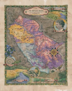 The Driftless Area covers about 20,000 square miles, which primarily extends into western Wisconsin-roughly 85 percent. The landscape has plenty of caves, notably Viroqua City Cave and Cave of the Mounds, and the most rugged part of Driftless Wisconsin is the Ocooch Mountains. In southeastern Minnesota the Driftless Area begins at

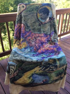 Plush Throw $52
 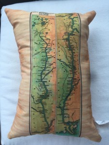 Comfy Pillows $28
 Sturdy Canvas 18″ Totes $31

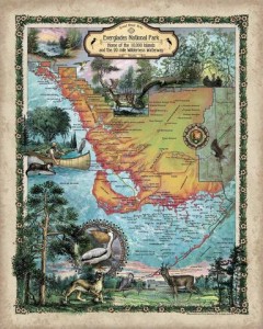
 Don’t see your favorite map in our product catalog?? Call 888.255.7726 and we will help you find it, or get it posted for you! Looking to license an image for your commercial product? YES, we do that!
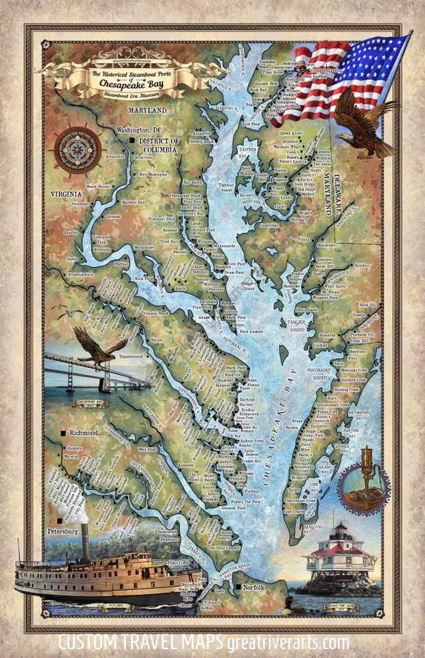
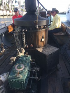 Engine and today’s diesel boiler.
 We are pleased to offer several interactive maps on

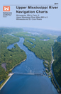
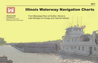 Illinois and Upper Mississippi Rivers to Lake Michigan at Chicago and Calumet Harbors. The charts have been updated in 2013.